


Middle of Somewhere
in the Cabeza Prieta Wilderness
Henley Phillips & Katie visco 〡 April 24th, 2023
803,149is a number perhaps too big to comprehend. If we were talking about money, then I’d have some sense of wealth, but in this case, we’re talking acres of land. I’ll try for some helpful comparisons to put it in perspective. That number would get you to a landmass a little bigger than Rhode Island, though not quite Delaware. It also equates to a terrestrial square with sides roughly 40 miles long. Or, 30 times the size of Disney World. But more specifically, it’s the size of the Cabeza Prieta National Wildlife Refuge down on the Arizona-Mexico international border, home to the 9th largest wilderness in the United States.
A few years ago a friend sent me an article listing the most remote places in the 50 biggest wilderness complexes in the country. A few short paragraphs accompanied a table filled with numbers of acreage, remoteness measured in radius miles, and GPS coordinates. It's a rather dry, featureless set of data, and by that, I mean it has none of the allure of other outdoor superlatives, like the highest peaks, longest rivers, or lowest deserts. It felt very much like an obscure passion project of someone who enjoyed the outdoors and numbers, but otherwise, only a random set of data to lead you to the middle of nowhere.
But the longer I live in the Sonoran Desert, and the more I mature as an outdoors person, the more I've come to question that phrase - “middle of nowhere.” I'm sure we’ve all used it to describe an outdoors experience, but doesn’t it feel dismissive of the place? The article caught my attention again a few months ago, and I noticed myself using this phrase when describing the idea to my wife. Out of the way, certainly, but to describe a place in such terms left it feeling meaningless, and I can't imagine any such place in the outdoors. So in mid-January, Katie and I set out on a meaning-making trip.
Our goal was to hike cross country into the Cabeza Prieta Wilderness, to the most remote point therein, no more than a featureless set of GPS coordinates, 32.255100, -113.404900, to see if we couldn’t turn the middle of nowhere into the middle of somewhere.
Hummingbird, Paradise, and Chia Canyons. Sierra Pinta, Bryan Mountains, and Sunday Pass. Dos Playas and Isla Pinta. Maps of the region show that the land down in this part of the country is anything but meaningless. The ranges, valleys, washes, peaks and depressions are full of interesting names given by those who’ve passed through, struggled, and sometimes, perished here. On a Saturday morning, we shot a bearing for a little clump of hills on the horizon and began walking up the Mohawk Valley, a wide swath of creosote plain hemmed in on either side by sky islands. The walking was fairly straightforward, and the wind blew. Taking advantage of recent rain, creosote was in bloom and green shoots sprouted at the base of mesquite nurse trees. Otherwise, the landscape was brown and the colors dulled from rare cloudcover. Our set of hills had no name on the map, so as others have done before us, and to create a point of reference for ourselves, we gave it a name - Three Humps.


As the hours and miles accumulated, Three Humps’ features grew and diminished in various ways. At first, the illusion of distance cast the hills as small and simple, then they grew in size and texture, and finally, we entered into detail - a wash surrounded by hills of teddy bear cholla, scrub mesquite, pincushion cacti, and there, buried in the sand, an immigrant’s makeshift shoe of carpet and denim sewn together into a huarache. I’ve come across discarded items in the desert in the past, and it provokes a deeply unsettled feeling. It’s painful to find a backpack, a phone charger, or a few pesos discarded and buried in the sand when you know those things were once a lifeline to someone passing through. It makes you wonder, where’s that life now?
Throughout the day we walked into and out of various pockets of vegetation, each seeming to have found its goldilocks conditions for intensely existing just there. Saguaros, creosote, cholla, triangle bursage, mesquite, and ocotillo. As you do on long walks, Katie and I drifted in and out of conversation ranging from travel, to house projects, future goals, dinner, and often, into silence and observation.

Henley gazes upward at a towering Saguaro cactus.
Night drew in slowly. We dug out our headlamps and pulled up Gaia to navigate the last half hour to our GPS coordinate, which we initially passed. Doubling back, we checked our phones more frequently, and then, unceremoniously, we arrived. “Well, here we are,” Katie said. Having arrived at our spot in the dark, there wasn’t much else to say. Luckily we had a sandy, cactus-free space for our tarp, so we set up camp, made a quick fire for warmth and dinner, and went to bed in the most remote point in a nearly million acre wilderness.

The wind blew sand and faint rain through the night and into the morning until our stakes could no longer hold the loose sand. Our tarp collapsed, and it was time to get up. I walked to a nearby hill for pictures and could only vaguely find Katie in the sea of desert where we camped. Faint vehicle tracks crossed here and there (Legally, border patrol can drive in wilderness if they deem it necessary) , but otherwise, we were 12 miles in any direction from the nearest road. We had a quick breakfast of black tea and Lara Bars and then began the walk out.
This time, however, we navigated by what we knew and the experience we had had the day before. We didn’t need our phones to shoot a bearing or double check against waypoints. We simply kept an eye out for what we had learned, familiar features guiding us back. I recognized a certain Saguaro skeleton, and here and there were signs of lunch, rest stops, and the big wash that drains the whole of the Mohawk Valley. There’s the stand of teddy bear cholla and the backside of Three Humps. We crossed paths with our own footprints, and after several hours in the other direction, we saw the opening of O’Neill Pass where we parked the day before.
Funny enough, it didn’t feel like we achieved much in having walked to the most remote point in the Cabeza Prieta Wilderness. It felt like completing any other hike. On the drive out, however, I realized that what we achieved happened slowly in the moments before and after our time there. There was no good reason to drive five hours from home to camp in a place void of water, void of shade, and full of so many things that can poke, stab and prick you. We spent hours looking at maps, wondering what it would all look and feel like, and now having seen it, we’ve scratched the itch. And it’s that - the curiosity - that’s important and worth the travel and the trip report. It could have been two miles from home or 12 into the desert; the achievement is the creativity that got us there.
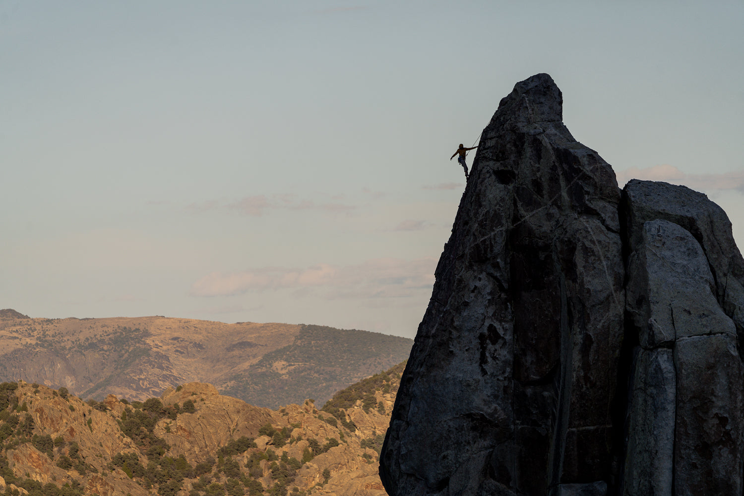
More photos From the trip:


Henley and Katie have lived in the Sonoran Desert for the past three years and enjoy getting to know all its nooks and crannies on foot, by bike, and in their '93 Chevrolet Astro. Katie has run across both the United States and Australia, and Henley has hiked the Pacific Crest Trail, set an FKT on the Oregon Coast Trail, and combined foot and bike travel on a variety of routes. Together they organize community bike rides on a semi-monthly basis where the focus is coffee and chill pedaling around town. You can get in touch with them @katievisco and @henley.phillips.
OUR HIKINg FAVORITES:

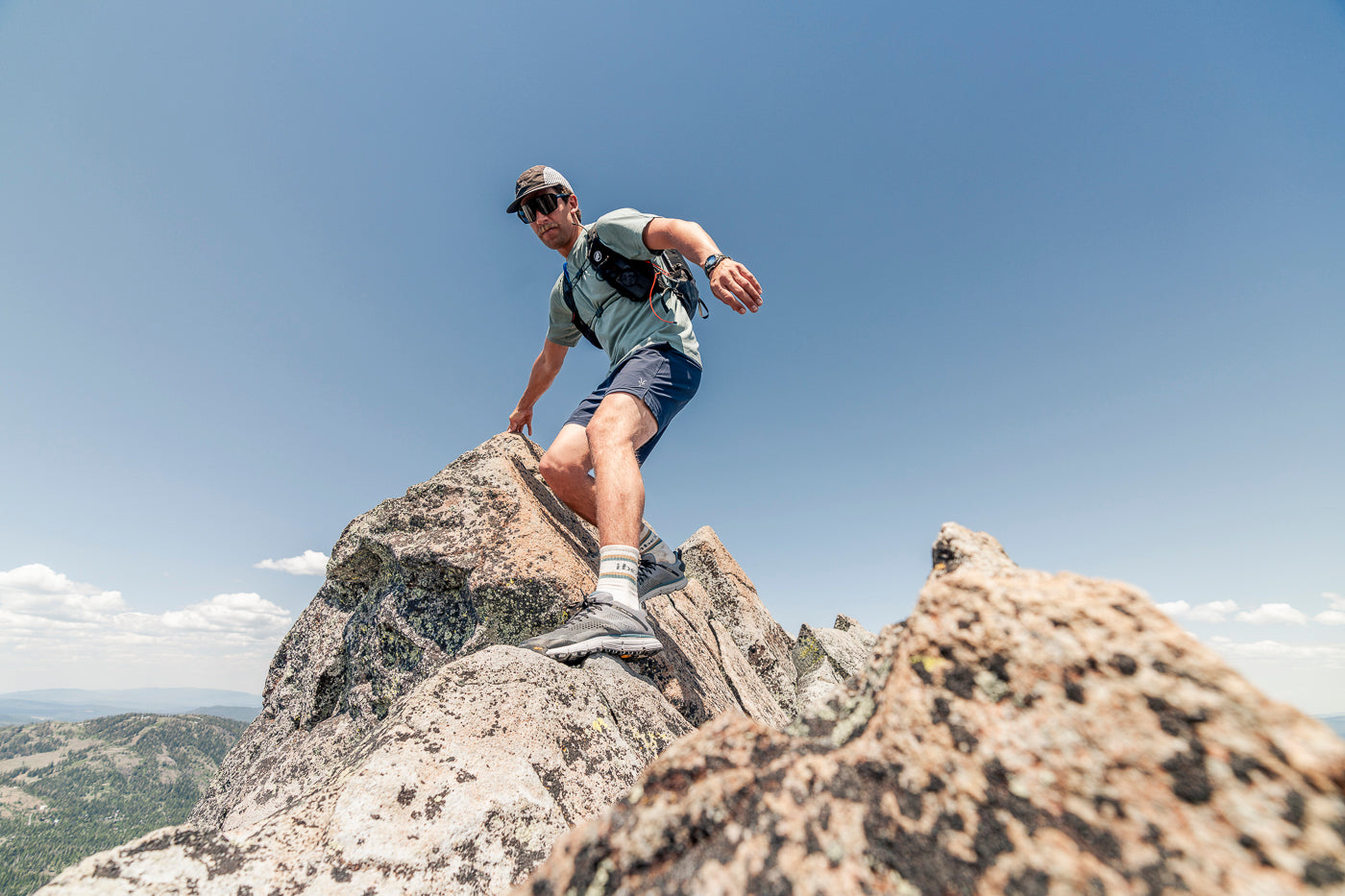
SPRINGBOK Shorts

SPRINGBOK SHORT SLEEVE TEE

SUN HOODIE